
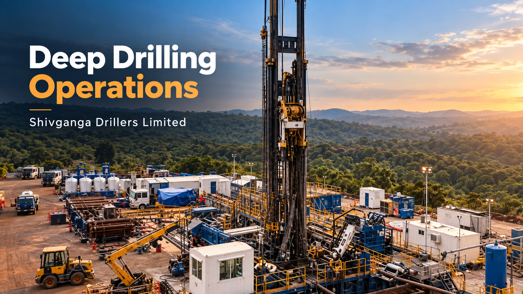
When Drilling Became a Window Into the Earth: Shivganga at Koyna
In the hills of Maharashtra, the Koyna scientific drilling project created access to rocks kilometres below the surface. Discover Shivganga’s documented contribution to the pilot borehole, the engineering demands of drilling through basalt and crystalline basement, and how the resulting samples and measurements supported continuing research into earthquakes, fractures and the deep subsurface.
In Maharashtra’s Koyna region, a scientific borehole brought researchers closer to the rocks, fractures and forces behind earthquakes, with Shivganga contributing drilling and field support.
An unusual assignment in the Maharashtra hills
A drilling rig stood on a hill in Maharashtra’s Koyna region, its work directed towards a question that could not be answered from the surface alone. Beneath it lay volcanic rock, ancient crystalline basement and the structures of a landscape that had experienced earthquakes for decades.
The objective was scientific access. Researchers wanted to examine the conditions within the Earth that influence how faults behave, and how changes associated with reservoirs can help trigger earthquakes.
Contemporary reporting in The Hindu identified the Indore-based Shivganga drilling company at the site. Its February 2017 account, preserved in a CSIR press digest, placed the company’s rig in this unusual setting, working towards a scientific objective beneath the Maharashtra hills. The Hindu, archived excerpt
The more enduring record is found in the science that followed. Researchers explicitly acknowledged Shivganga’s drilling crew for assistance during drilling and field investigations. The assignment became part of an Indian research effort to turn a borehole into a means of investigating earthquakes. Goswami and colleagues, 2019
Why scientists looked beneath Koyna
Earthquake activity in the region followed the filling of the Koyna reservoir in 1962. The magnitude 6.3 earthquake of December 1967 made the area especially significant to seismologists. Activity subsequently increased following the impoundment of the nearby Warna reservoir in 1985. Researchers have studied this concentrated seismic zone for decades. Koyna basement study, 2023
The scientific explanation involves more than the weight of stored water. Reservoir loading changes stresses in the ground, while changes in fluid pressure can travel through connected fractures. Higher pressure within a fault can reduce the effective force holding its surfaces together, making movement easier where the surrounding rock is already stressed.
That does not mean every reservoir produces earthquakes. Fault geometry, existing stresses, permeability and the history of water-level changes all matter. Establishing how these factors interact at Koyna requires observations and testing, rather than a single explanation applied to every event. Hydromechanical modelling of Koyna
For researchers, repeated seismicity in a geographically concentrated area offered an opportunity to compare subsurface conditions with earthquake activity. Koyna became a natural laboratory: a place where a persistent geological problem could be investigated through successive measurements.
Turning a scientific question into a drilling programme
The Ministry of Earth Sciences developed the programme to investigate earthquakes close to their sources. The government’s 2013 approval envisaged deep investigations at 6–8 kilometres, alongside a research laboratory at Karad and collaboration with CSIR–National Geophysical Research Institute. That was the broader ambition; it was not the depth achieved by the later pilot borehole. Government approval, 2013
Preparatory work combined geophysical surveys, exploratory drilling and seismic monitoring. CSIR-NGRI’s investigations helped characterise the hidden geology and refine where a deeper experiment should be located. A borehole is an expensive way to ask a poorly defined question, so this groundwork mattered: the drilling location had to be connected to an informed model of the subsurface. CSIR-NGRI preparatory programme
The resulting pilot, KFD1, had a target of approximately three kilometres. It was a step towards a deeper observatory and an opportunity to obtain information needed to design that next stage. ICDP planning workshop
The mission brought together questions about rock strength, fractures, stress, temperature, fluids and seismic activity. Each required a different kind of evidence. Samples could be tested in laboratories; instruments lowered into the hole could examine the rock in place; seismic networks could connect local observations with the wider earthquake zone. The borehole therefore had to serve several investigations, not simply reach a specified depth. MoES programme description, 2015–16
Engineering access through basalt and basement
The geological route passed through roughly 1.25 kilometres of Deccan basalt and continued into ancient granite-gneiss basement. These are hard crystalline formations, but hardness alone does not describe the challenge. Fractures, water-bearing intervals and changes in rock condition also affect the work.
MoES records a combination of air-hammer and mud-rotary techniques, together with sampling, downhole measurements and casing and cementing. The drilling and associated activities were accomplished over approximately six months. MoES annual report, 2017–18
A later technical account by project scientists explains why operating choices had to change with conditions. Rock type, fractures, water inflow and the need to recover intact cores influenced the selection of drilling technique. It also describes the demands of sustained field work and the difficulty of handling equipment and samples over kilometre-scale distances. Project scientists’ technical account, 2024
For a scientific borehole, progress has two meanings. The bit must advance, and the investigation must retain useful evidence of what it encounters. A sample without reliable depth information has limited value. An instrument needs access to the interval it is intended to measure. The practical task is to keep the drilling operation and the scientific programme working together.
This is where operational precision matters: in the relationship between the hole being constructed and the measurements that construction makes possible.
Shivganga’s place in the field effort
Shivganga’s contribution is documented in publications produced from the project. Alongside the acknowledgment of its drilling crew, a separate study of gases recovered during the operation credits Shivganga Drillers with logistical support at the drill site. These are direct acknowledgments by the researchers who used the resulting access and data. Podugu and colleagues, 2019
The historical papers use the name Shivganga Drillers Pvt. Ltd. The company’s later corporate disclosures document its conversion to Shivganga Drillers Limited in 2025, connecting those project acknowledgments with today’s company. Company draft prospectus
The significance of that involvement is practical. Scientific plans depend on field execution, including the people who operate drilling equipment and support work at the site. At Koyna, that contribution formed part of a collaboration in which scientific institutions defined and interpreted the investigations, while drilling and specialist teams helped make them possible.
The project illustrates the practical connection between a scientific programme and the field capability required to carry it out. For Shivganga, participation in a demanding scientific drilling assignment is a substantial part of its engineering history in its own right.
Reaching three kilometres
ICDP’s project news records KFD1 reaching a target depth of 3,014 metres on 11 June 2017. Subsequent entries describe geophysical logging and completion of wellhead fitting later that month. Reaching depth and completing the associated work were distinct milestones. ICDP pilot project record
Three kilometres is a distance that can be crossed in a short journey on the surface. Vertically through rock, it represents a very different problem: every deeper operation remains connected to a narrow opening above.
The value of the pilot was therefore greater than its final depth. It established access through the volcanic cover and far into the basement, while generating samples and measurements that could guide further research. ICDP’s annual report also records hydraulic-fracturing stress experiments at nine depths between approximately 1.6 and 2.4 kilometres. These were scientific measurements of the rock’s stress conditions. ICDP annual report, 2017
What the borehole revealed
The pilot made it possible to compare several descriptions of the same subsurface interval. A change in electrical behaviour could be examined alongside acoustic measurements, borehole images and recovered material. Agreement between different observations gives scientists a stronger basis for interpretation than any one measurement alone.
A 2019 analysis identified seven anomalous zones below 2,100 metres and interpreted their properties in terms of subsurface fault damage. This connected measured changes in the rock with the structures scientists were seeking to understand. Fault-damage study
Research published in 2020 used borehole images to investigate stress directions and fracture orientations. The findings helped explain the local faulting environment and showed how information from a single deep opening could complement regional earthquake observations. Borehole stress study
MoES also reported a temperature of approximately 78°C at three kilometres. Such measurements matter to subsequent engineering as well as science: deeper investigations require equipment and instruments suited to the conditions they will encounter. MoES annual report, 2018–19
The research extended beyond earthquakes. Core material supported studies of microorganisms associated with deep crystalline rocks, including laboratory work on microbial communities and their metabolic potential. The same physical access could therefore support questions from different scientific disciplines. Deep-subsurface microbiology study, 2022
A completed pilot, a continuing investigation
The pilot did not complete the wider earthquake research programme. In March 2025, the Ministry of Earth Sciences described the approximately six-kilometre observatory phase as being in detailed planning. Parliamentary answer, 2025
The subsequent ICDP record lists the main-hole phase, DEEPAK, as having full proposal approval in June 2026. Its stated aim includes drilling to approximately six kilometres at the KFD1 site and monitoring processes around earthquakes. Approval is a further programme milestone, not evidence that this deeper drilling has already been completed. ICDP main-hole phase
Meanwhile, regional work continued. CSIR-NGRI’s 2026 research summaries describe improved earthquake locations and subsurface imaging from its borehole seismic network. These network studies belong to the wider Koyna investigation; they should not be confused with measurements made solely inside KFD1. CSIR-NGRI research update
An engineering contribution with lasting scientific value
For Shivganga, Koyna is a documented example of drilling capability contributing to a specialised national research effort. Its value as a corporate heritage story lies in the connection between field work and the investigations that followed.
The company’s present emphasis on technology, operational discipline and safety provides a natural context for that history. Its published QHSE commitment describes risk identification and management as part of its approach to work. Those principles remain relevant wherever specialised drilling must serve complex project objectives. Shivganga QHSE
At Koyna, engineering helped create access to rocks that scientists could otherwise examine only indirectly. The resulting samples and measurements continued to support new questions after the drilling campaign ended.
Drilling can serve the search for energy and resources. It can also give science a way to examine the Earth from within. Shivganga’s part in the Koyna pilot belongs to that wider purpose: the skilled work of making a difficult investigation physically possible.